A solution for digitalising all your mobile resources
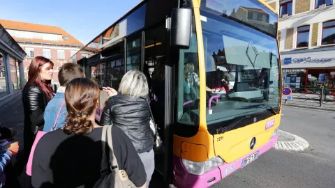
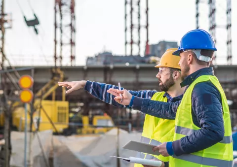
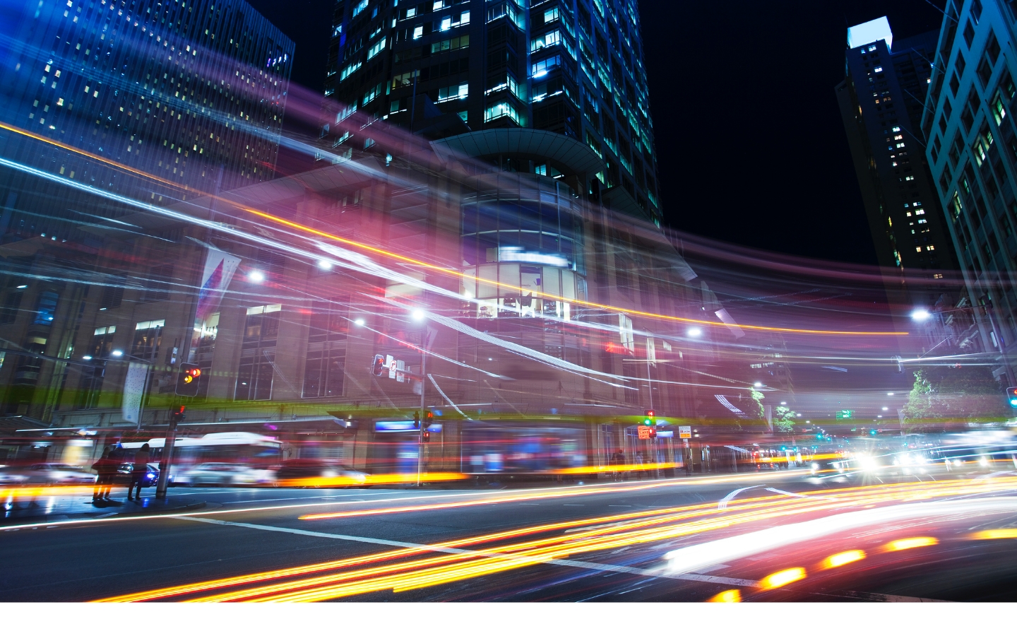
Telematics & IoT
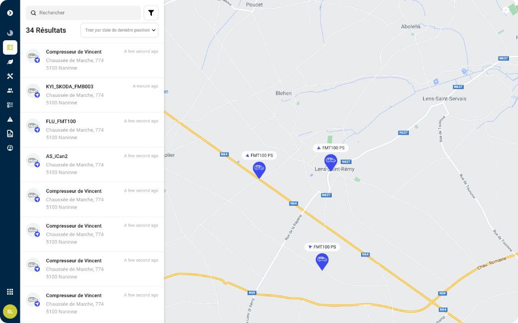
![Telematics & [IoT]](/sites/default/files/styles/wide/public/2022-05/HOme.png.webp?itok=JPIJvbbx)
We have been revolutionising the connected object and vehicle sector and optimising mobility for over 25 years.
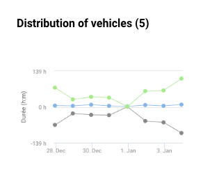
Our ecosystem of solutions turns fleet manager data into intelligent information.We help you to analyse, take decisions and improve operating efficiency.


Are you running a project aimed at digitalising your business? Need some expert advice?
Are you a service provider? Become one of our solution integrators
Grow your expertise
View all news
Publié le 05/10/2022
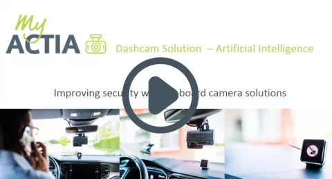
News: dashcams to improve safety and security
Publié le 20/06/2022
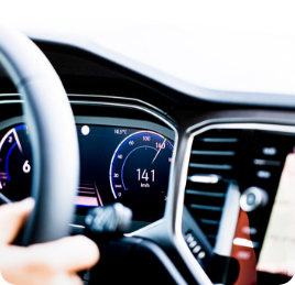
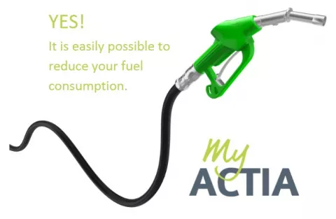
Yes! It is easily possible to reduce your fuel consumption.
Publié le 01/06/2022
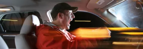
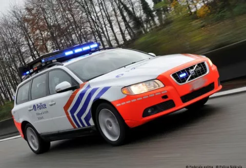
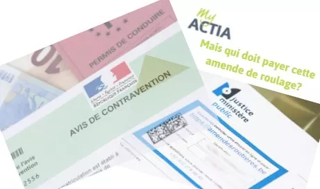
Which driver has to pay a traffic fine?
Publié le 01/06/2022
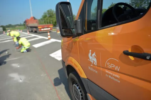
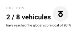
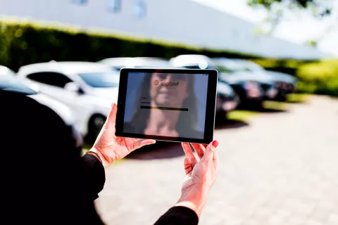
The success of your geolocation project depends on the support of your employees
Publié le 01/06/2022